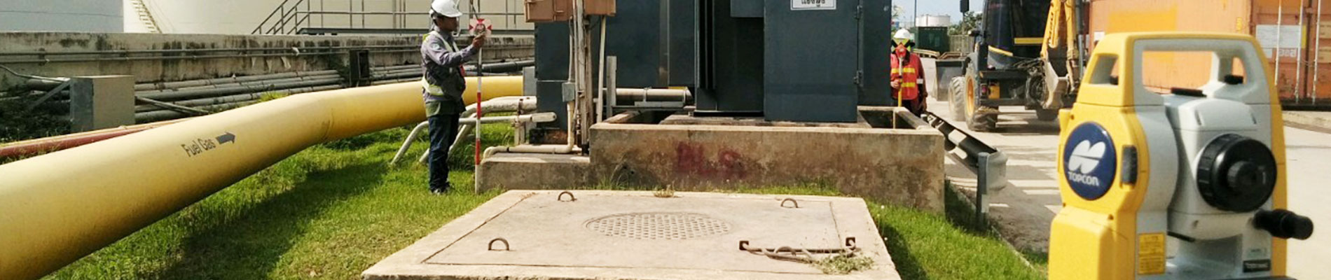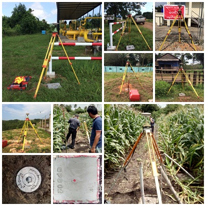
เป็นงานสำรวจเพื่อสร้างหมุดควบคุมหลักฐานสำหรับเป็นหมุดหลักฐานในงานสำรวจอื่นๆ เช่นงานสำรวจออกแบบสาธารณูปโภค งานสำรวจพื้นที่ขนาดใหญ่เพื่อออกแบบผังเมือง การระบายน้ำ งานสำรวจพื้นที่ขนาดเล็กสำหรับออกแบบก่อสร้างสิ่งปลูกสร้างต่างๆ รวมถึงใช้ในงานสำรวจเก็บข้อมูลด้านสารสนเทศภูมิศาสตร์อีกด้วย
GNSS Control surveys provide data which can be used in future planning and development of infrastructure. They can establish coordinate control points for a large boundary surveys, and subdivision surveys. They are also used to compile such data as the location of streets; homes; businesses; electric, phone and gas utilities; water and sewer systems; property lines; soil and vegetation types; water courses; etc. for Geographic Information Systems (GIS).